[ Reach Out ]
Get in Touch
Get to Know Us
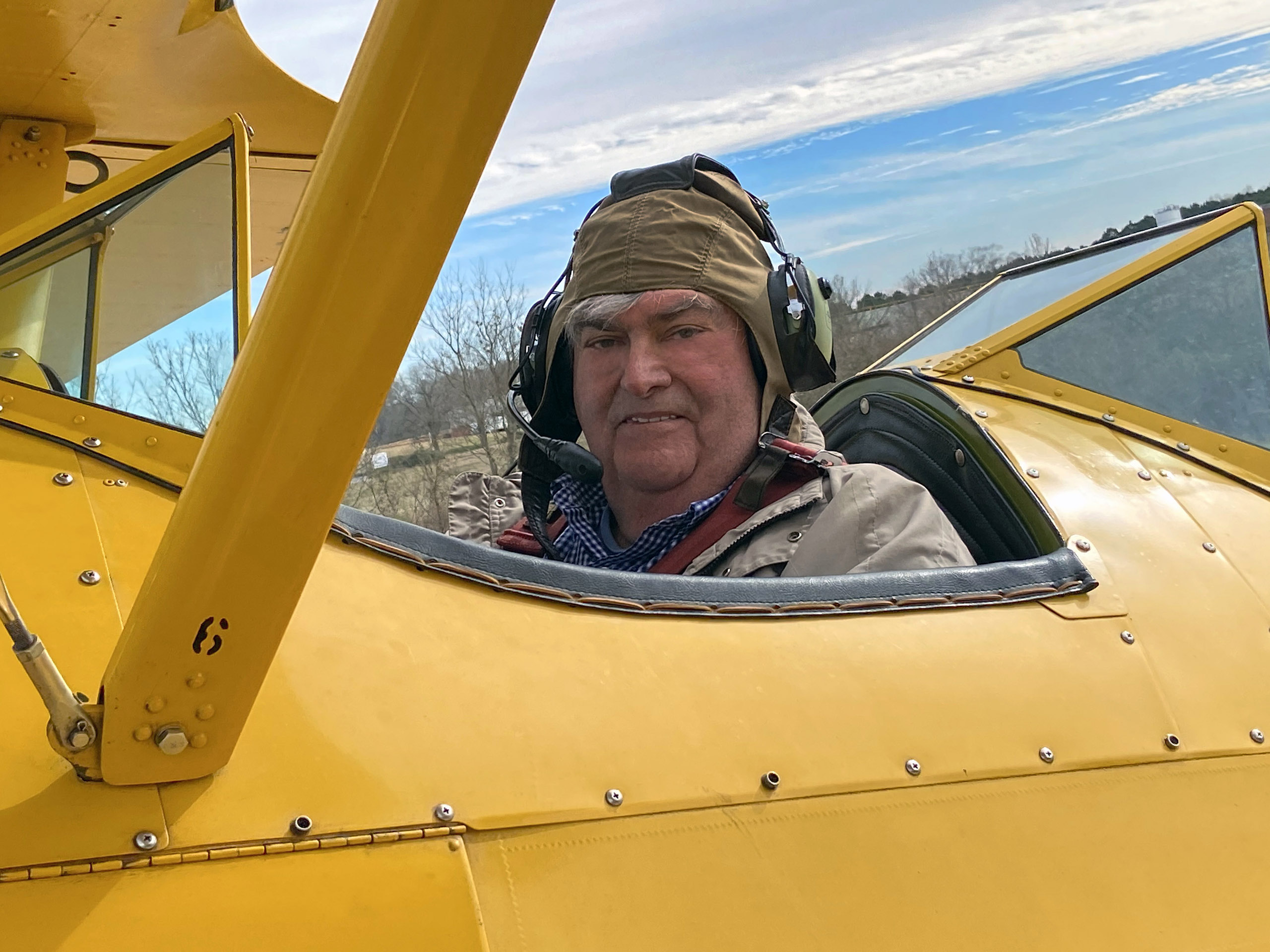
Jim Crawford
Pilot and Photographer
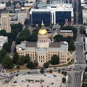
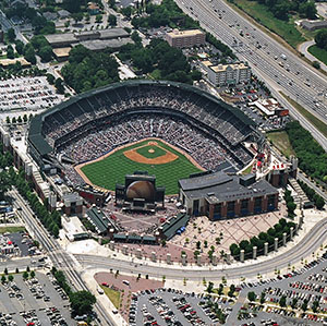
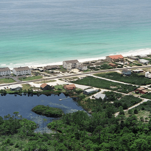
Jim Crawford began providing Atlanta Aerial Photography services in 1985.
He is a former Army Helicopter pilot and Corps of Engineer Officer with aerial photography training while in the Army. Jim has a Commercial Pilot license in an airplane single and multi-engine, helicopter with an instrument rating in both, and a Remote Pilot (Drone) License. More about Jim
The company began with Burger King during their rapid expansion in the mid-1980s to the late 1990s. Crawford Aerial Photography provided aerial photo shoots for their proposed sites in Georgia, Alabama, Tennessee, South Carolina, North Carolina, Virginia, West Virginia, and the panhandle of Florida.
Today they are providing aerial photography for:
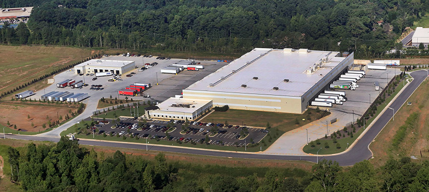
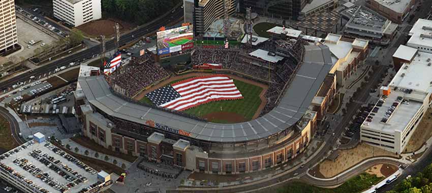
- Large commercial real estate brokers for advertising their listings of apartments, shopping centers, malls, commercial buildings, and land.
- Contractors to show completed construction examples for advertising their products like artificial turf fields, roofing, buildings, pavement, and parking lots and subdivisions.
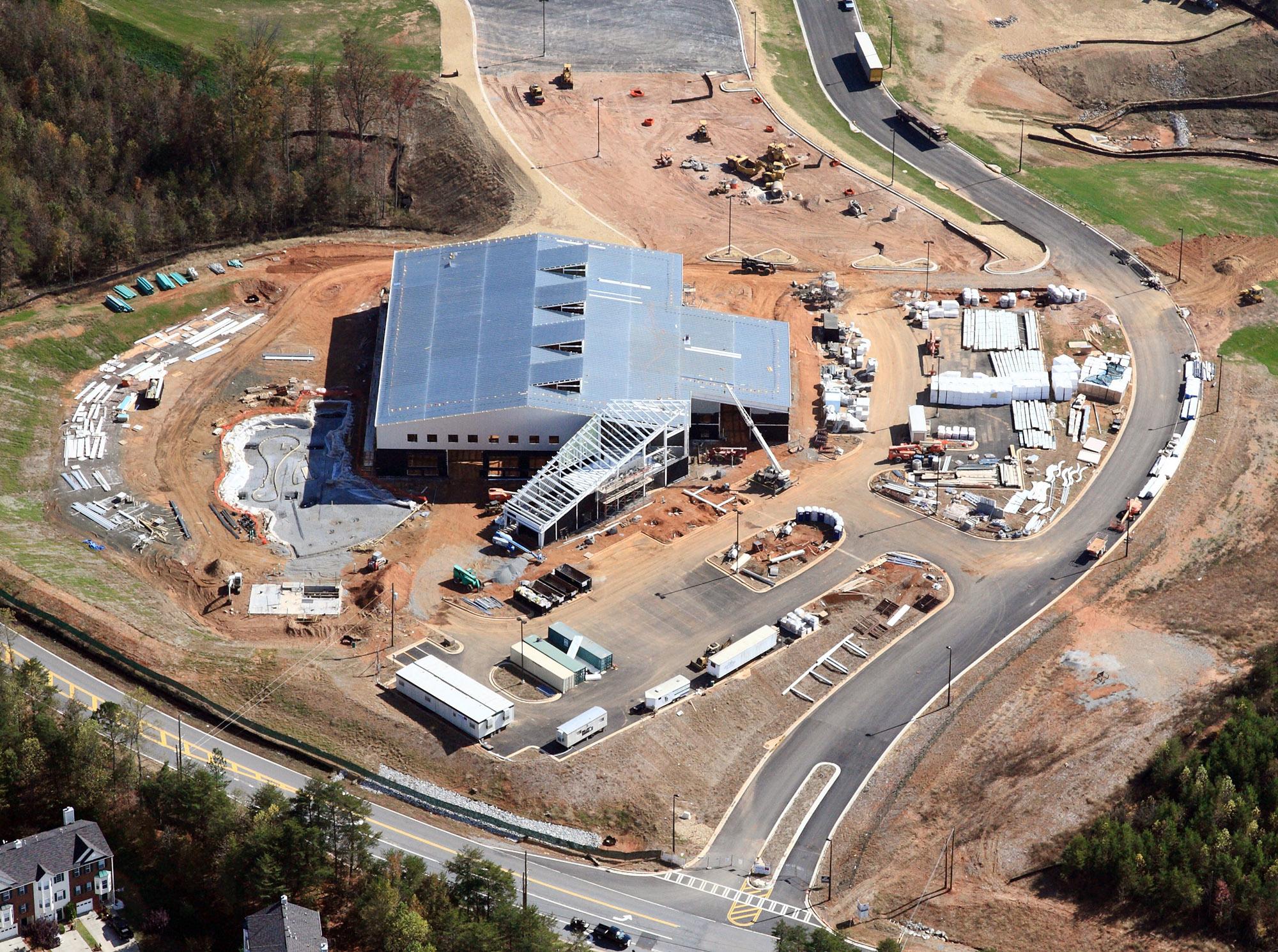
- Construction companies for monthly progress aerial photography.
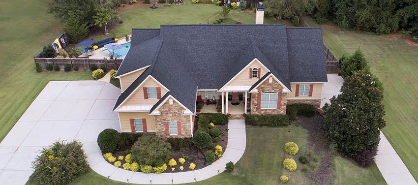
- Residential Real estate Agents to promote their home and farm listings.
- Individuals who want an aerial photograph of their property.
- Hunters who want an aerial view of their hunting property.
Crawford Aerial Photography, Inc. has the flexibility to provide aerial photography using a helicopter, airplane, or drone to get low, mid, and high-level aerial photography. More about aircraft choice.
Photographer
© 2023 Photographer. All Rights Reserved
